Thingiverse
Earth topography with coastlines by jeffwinterbourne
by Thingiverse
Last crawled date: 4 years, 5 months ago
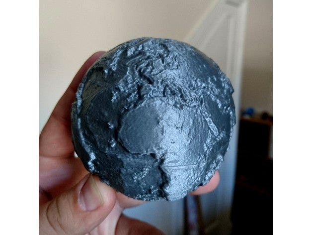
This is a high detail globe of Earth's topography (highly exaggerated), designed as an educational tool. Several others exist on Thingiverse already - the difference of this one is that the outline of the continent has been raised slightly so that familiar coastlines can be picked out, making it better for teaching.
Included are two hollow hemispheres which print with minimal plastic, without supports. Also included a complete sphere for anyone who wants to print using a more advanced method or to use this model for a different purpose.
Update: if you like a challenge, try the model which opens to reveal the core with embedded magnets (https://www.thingiverse.com/thing:3561651) or crustal thickness (https://www.thingiverse.com/thing:3899023)
Suggested things to study:
Hawaii, in the Pacific Ocean, is part of a long chain of submarine mountains. These are volcanoes, formed as the ocean plate passes over an unusually hot part of the Earth's interior (a "hot spot" or mantle plume). How many of these tracks can you find?
Mountain belts - these form at convergent plate boundaries, where one tectonic plate collides with another. The Himalayas are a great example of this; how many more can you find?
Ocean trenches exist where one plate subducts (descends beneath) another, giving a band of extremely deep ocean. The deepest of these is the Mariana trench, in the northwest of the Pacific ocean. Where else can you find subduction happening? Why are the trenches often next to a belt of mountains?
A ridge runs down the middle of the Atlantic Ocean - this is where oceanic crust is created. Where are the other mid-ocean ridges?