
3DWarehouse
Terrain
by 3DWarehouse
Last crawled date: 3 years, 11 months ago
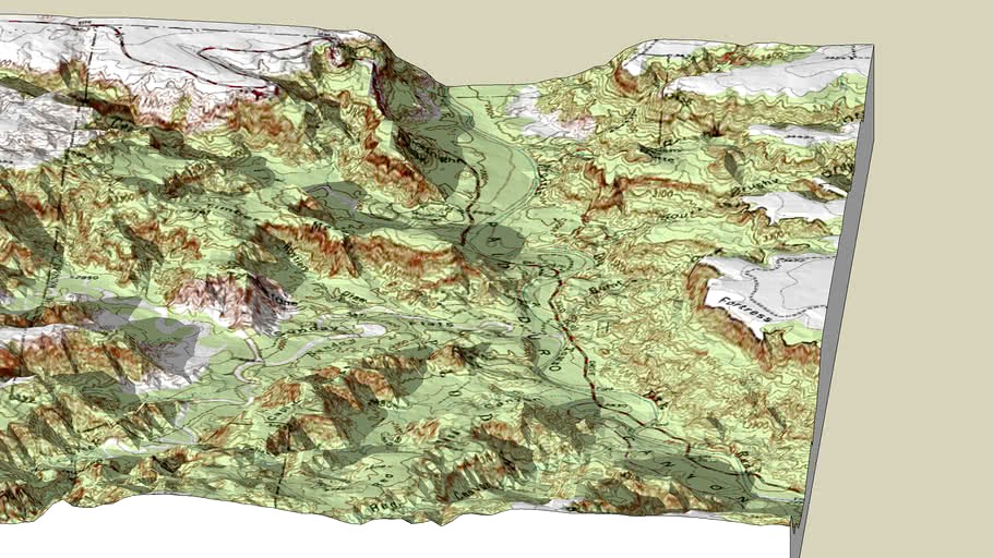
Textured with topographic map image (jpeg) • Extreme example • Large file • Capability demonstration only - you wouldn't want this much detail in a model containing other components • Represented area: 55 square kilometers (21 square miles) • Height transition: 232 meters (761 feet) • Location: Palo Duro Canyon State Park, Texas • Digital Elevation Model (DEM) data file modified in program, 'Terragen,' to reduce size • Data exported from Terragen as DXF file • After import into SketchUp, surface was textured (projected image) with digital topographic map that had been cropped and converted to jpeg with PhotoShop • SketchUp 'Sandbox' tools were not used • NOTE: While you can import DEMs directly into SketchUp, this technique provides a more-detailed appearance with fewer apparent irregularities (when comparing models of similar polygon-count) #DEM #DXF #Google_Earth #Palo_Duro #sandbox #Terragen #Terrain #Texas #texture #topographic