Thingiverse
Paris contour / relief map by florianlb
by Thingiverse
Last crawled date: 4 years, 11 months ago
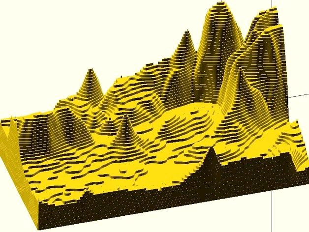
Using the Google Elevation API, the scientific Python stack and OpenSCAD, I generated this model from latitude, longitude and elevation data.
A post on my blog describes how the different tools were used to obtain the final result. This method is applicable to any surface on earth defined by two corner points.
A post on my blog describes how the different tools were used to obtain the final result. This method is applicable to any surface on earth defined by two corner points.