in
all shops
3dbaza
3dCadBrowser
3ddd
3dExport
3Dfind.it
3dlancer
3dOcean
3dsky
3DWarehouse
Animium
Archibase Planet
Archive3D
Artstation
blendermarket
Blend Swap
cgduck store
CGPort
CGRiver
CGstudio
CG Trader
Clara.io
CreativeMarket
Cults
DesignConnected
Digiprops
Evermotion
FlatPyramid
Free3D
gambody
humster3d
open3dmodel
Renderosity
Sketchfab
TF3DM
Thingiverse
TurboSquid
Unity Asset Store
Unreal Engine Marketplace
VirtualLand
VIZPARK
sort by
Most popular
Ascending price
Descending price
Most relevant
Most irrelevant
Latest updated
Oldest updated
filter by price
free
Thingiverse
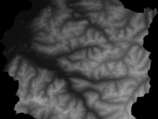
Heightmap to STL by mfussi
by Thingiverse
Get from Thingiverse
Last crawled date: 4 years, 7 months ago
Small (and dirty ;) ) script to convert grayscale heightmaps to stl models. Usable for landscapes or terrain prints.
Supported Image Formats: GIF, PNG (preferred), JPEG, BMP
Update: New version released
Tags
stl
mfussi
heightmap