Thingiverse
Golden, Colorado by jzeimen
by Thingiverse
Last crawled date: 4 years, 7 months ago
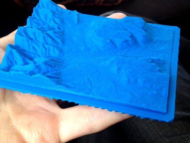
A 3D printable relief map of Golden, Colorado. Home to Colorado School of Mines, USGS, and Coors Brewery. I made the 3D model using USGS data, and directly creating a binary STL file using a ruby script that I wrote. I'll upload that once it is finished enough for people to see.
In this map you can see North and South Table Mountains, as well as Mt. Zion and part of the hogback.
Let me know if there are issues with the STL so I can fix my script.
I used the GridFloat data set from http://viewer.nationalmap.gov/viewer/ in the area of Golden to create this.
In this map you can see North and South Table Mountains, as well as Mt. Zion and part of the hogback.
Let me know if there are issues with the STL so I can fix my script.
I used the GridFloat data set from http://viewer.nationalmap.gov/viewer/ in the area of Golden to create this.