3dExport
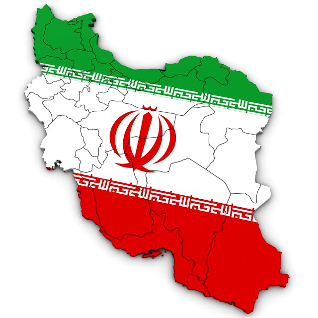
3d political map of iran
by 3dExport
Last crawled date: 1 year, 10 months ago
high poly 3d model of the map of iran. includes all the regions of iran. 3ds max version and all exported geometries include standard procedural materials; no additional plugins are required for this product. 3ds max version only all iran regions are editable splines with the bevel modifier applied allowing for adjustments in height and/or removal of the bevel. all exported versions will be editable poly/mesh. all models are properly labeled with correct region names.
Similar models
3d_export
$40

3d political map of ethiopia
...emoval of the bevel. all exported versions will be editable poly/mesh. all models are properly labeled with correct region names.
3d_export
$40

3d political map of kenya
...emoval of the bevel. all exported versions will be editable poly/mesh. all models are properly labeled with correct region names.
3d_export
$50
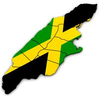
3d political map of jamaica
...emoval of the bevel. all exported versions will be editable poly/mesh. all models are properly labeled with correct region names.
3d_export
$60
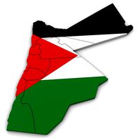
3d political map of jordan
...emoval of the bevel. all exported versions will be editable poly/mesh. all models are properly labeled with correct region names.
3d_export
$50

3d political map of kuwait
...emoval of the bevel. all exported versions will be editable poly/mesh. all models are properly labeled with correct region names.
3d_export
$40

3d political map of thailand
...emoval of the bevel. all exported versions will be editable poly/mesh. all models are properly labeled with correct region names.
3d_export
$40

3d political map of vietnam
...emoval of the bevel. all exported versions will be editable poly/mesh. all models are properly labeled with correct region names.
3d_export
$40

3d political map of zimbabwe
...emoval of the bevel. all exported versions will be editable poly/mesh. all models are properly labeled with correct region names.
3d_export
$40

3d political map of pakistan
...emoval of the bevel. all exported versions will be editable poly/mesh. all models are properly labeled with correct region names.
3d_export
$40

3d political map of croatia
...emoval of the bevel. all exported versions will be editable poly/mesh. all models are properly labeled with correct region names.
Iran
3d_ocean
$3

Map of Iran
...map of iran
3docean
flag iran map outline
an outline map of iran
turbosquid
$100

Iran
... available on turbo squid, the world's leading provider of digital 3d models for visualization, films, television, and games.
turbosquid
$15

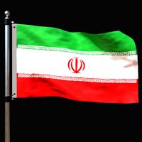
Flag Iran animated
...ran animated for download as 3ds, dxf, obj, c4d, fbx, and dae on turbosquid: 3d models for games, architecture, videos. (1290885)
3d_export
$9

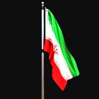
Iran flag 3D Model
...bric cloth rope realistic standard association organization goverment flag emblem jpeg
iran flag 3d model rmodeler 38266 3dexport
turbosquid
$13

Map of Iran land border with flag
...and border with flag for download as blend, fbx, obj, and stl on turbosquid: 3d models for games, architecture, videos. (1539524)
cg_studio
$208
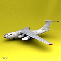
il-76 Iran Air Force3d model
... model
cgstudio
.3ds .c4d .obj - il-76 iran air force 3d model, royalty free license available, instant download after purchase.
humster3d
$75

3D model of Iran Khodro Samand 2011
...iled 3d model of iran khodro samand 2011 in various file formats. all our 3d models were created maximally close to the original.
3d_export
$15
Flag of iran
...rmats<br>3ds max 2017<br>3ds max 2020<br>3ds max 2023<br>obj (multi format)<br>fbx ( multi format )
3d_export
$15
Flag of iran 02
...rmats<br>3ds max 2017<br>3ds max 2020<br>3ds max 2023<br>obj (multi format)<br>fbx ( multi format )
Political
3d_export
$40
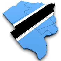
3d political map of botswana
...3d political map of botswana
3dexport
high poly 3d model of the political map of botswana
cg_studio
$35

Kansas Political Map3d model
... region province
.max .obj .3ds - kansas political map 3d model, royalty free license available, instant download after purchase.
cg_studio
$35

Iowa Political Map3d model
...ty region province
.obj .3ds .max - iowa political map 3d model, royalty free license available, instant download after purchase.
cg_studio
$35
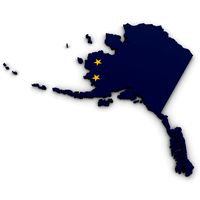
Alaska Political Map3d model
... region province
.obj .3ds .max - alaska political map 3d model, royalty free license available, instant download after purchase.
cg_studio
$35

Arkansas Political Map3d model
...egion province
.obj .3ds .max - arkansas political map 3d model, royalty free license available, instant download after purchase.
cg_studio
$35

Kentucky Political Map3d model
...egion province
.obj .3ds .max - kentucky political map 3d model, royalty free license available, instant download after purchase.
cg_studio
$35

Missouri Political Map3d model
...egion province
.obj .3ds .max - missouri political map 3d model, royalty free license available, instant download after purchase.
cg_studio
$35

Louisiana Political Map3d model
...gion province
.obj .3ds .max - louisiana political map 3d model, royalty free license available, instant download after purchase.
cg_studio
$35

Nevada Political Map3d model
... region province
.obj .3ds .max - nevada political map 3d model, royalty free license available, instant download after purchase.
cg_studio
$35

Florida Political Map3d model
...region province
.obj .3ds .max - florida political map 3d model, royalty free license available, instant download after purchase.
Map
3d_ocean
$5

Map
...map
3docean
geography map ocean travel world world map
a world map
3d_ocean
$5

Old Map
...old map
3docean
dirty map ocean old map paper pirates rotten travel world map
an old map
turbosquid
$3

Map
... available on turbo squid, the world's leading provider of digital 3d models for visualization, films, television, and games.
3d_ocean
$3
Map of Iran
...map of iran
3docean
flag iran map outline
an outline map of iran
3d_ocean
$2

Map of the USA
...map of the usa
3docean
america flag globe map united states usa
an outline map of the usa
3ddd
$1

Abstract Maps
... город , picture
abstract maps by artist jazzberry blue
3d_ocean
$5

Honduras Map
...honduras map
3docean
3d cinema4d honduras map mapa
honduras map designed in cinema 4d r17
3d_ocean
$2

Map of Germany
...map of germany
3docean
black country europe germany gold map outline red yellow
a simple outline map of germany
3d_ocean
$2

Map of Australia
...map of australia
3docean
australia banner country down under earth flag globe map ocean south
an outline map of australia
3d_ocean
$2

Map of Russia
...of russia
3docean
asia banner earth europe flag globe map russia russian federation siberia sovjet union
an outline map of russia