3dExport
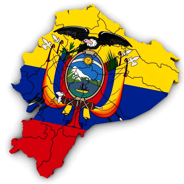
3d political map of ecuador
by 3dExport
Last crawled date: 1 year, 11 months ago
high poly 3d model of the map of the ecuador. includes all the regions of ecuador including the galapagos islands. 3ds max version and all exported geometries include standard procedural materials; no additional plugins are required for this product. 3ds max version only all pakistan regions are editable splines with the bevel modifier applied allowing for adjustments in height and/or removal of the bevel. all exported versions will be editable poly/mesh. all models are properly labeled with correct region names.
Similar models
cg_trader
$40

3d Political Map of Chile
...t region names. chile brazil south america argentina colombia paraguay uragauy venezuela peru bolivia ecuador architectural other
3d_export
$40

3d political map of ethiopia
...emoval of the bevel. all exported versions will be editable poly/mesh. all models are properly labeled with correct region names.
3d_export
$40

3d political map of kenya
...emoval of the bevel. all exported versions will be editable poly/mesh. all models are properly labeled with correct region names.
3d_export
$50
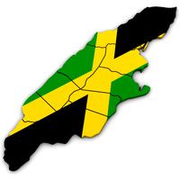
3d political map of jamaica
...emoval of the bevel. all exported versions will be editable poly/mesh. all models are properly labeled with correct region names.
3d_export
$60

3d political map of iran
...emoval of the bevel. all exported versions will be editable poly/mesh. all models are properly labeled with correct region names.
3d_export
$60
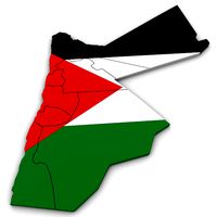
3d political map of jordan
...emoval of the bevel. all exported versions will be editable poly/mesh. all models are properly labeled with correct region names.
3d_export
$50

3d political map of kuwait
...emoval of the bevel. all exported versions will be editable poly/mesh. all models are properly labeled with correct region names.
3d_export
$40

3d political map of thailand
...emoval of the bevel. all exported versions will be editable poly/mesh. all models are properly labeled with correct region names.
3d_export
$40

3d political map of vietnam
...emoval of the bevel. all exported versions will be editable poly/mesh. all models are properly labeled with correct region names.
3d_export
$40

3d political map of zimbabwe
...emoval of the bevel. all exported versions will be editable poly/mesh. all models are properly labeled with correct region names.
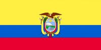
Ecuador
turbosquid
$29

Soccerball Ecuador
... available on turbo squid, the world's leading provider of digital 3d models for visualization, films, television, and games.
turbosquid
$29

Soccerball Ecuador
... available on turbo squid, the world's leading provider of digital 3d models for visualization, films, television, and games.
3d_export
$39
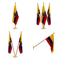
ecuador flag pack
...ecuador flag pack
3dexport
turbosquid
$40

Political Map of Ecuador
...el political map of ecuador for download as 3ds, max, and obj on turbosquid: 3d models for games, architecture, videos. (1301725)
turbosquid
$29

Soccerball dissasembled Ecuador
... available on turbo squid, the world's leading provider of digital 3d models for visualization, films, television, and games.
turbosquid
$29

Soccerball empty Ecuador
... available on turbo squid, the world's leading provider of digital 3d models for visualization, films, television, and games.
turbosquid
$29

Soccerball fancy Ecuador
... available on turbo squid, the world's leading provider of digital 3d models for visualization, films, television, and games.
turbosquid
$29

Soccerball pro Ecuador
... available on turbo squid, the world's leading provider of digital 3d models for visualization, films, television, and games.
3d_export
$9
Ecuador flag 3D Model
...rope realistic standard association organization goverment flag ecuador emblem jpeg
ecuador flag 3d model rmodeler 38213 3dexport
turbosquid
$29

Soccerball LowPoly Ecuador(1)
... available on turbo squid, the world's leading provider of digital 3d models for visualization, films, television, and games.
Political
3d_export
$40
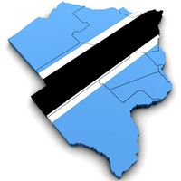
3d political map of botswana
...3d political map of botswana
3dexport
high poly 3d model of the political map of botswana
turbosquid
$90
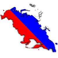
Political Map of Russia
...del political map of russia for download as 3ds, max, and obj on turbosquid: 3d models for games, architecture, videos. (1297788)
turbosquid
$40

Political Map of Bulgaria
...l political map of bulgaria for download as 3ds, max, and obj on turbosquid: 3d models for games, architecture, videos. (1301584)
turbosquid
$40
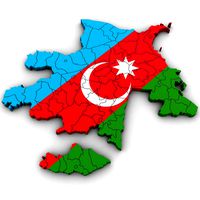
Political Map of Azerbaijan
...political map of azerbaijan for download as 3ds, max, and obj on turbosquid: 3d models for games, architecture, videos. (1301543)
turbosquid
$40

Political Map of Cameroon
...l political map of cameroon for download as 3ds, max, and obj on turbosquid: 3d models for games, architecture, videos. (1301540)
turbosquid
$40
Political Map of Ecuador
...el political map of ecuador for download as 3ds, max, and obj on turbosquid: 3d models for games, architecture, videos. (1301725)
turbosquid
$40

Political Map of Pakistan
...l political map of pakistan for download as 3ds, max, and obj on turbosquid: 3d models for games, architecture, videos. (1301723)
turbosquid
$40

Political Map of Botswana
...l political map of botswana for download as 3ds, max, and obj on turbosquid: 3d models for games, architecture, videos. (1301714)
turbosquid
$40

Political Map of Bolivia
...el political map of bolivia for download as 3ds, max, and obj on turbosquid: 3d models for games, architecture, videos. (1301591)
turbosquid
$40
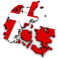
Political Map of Denmark
...el political map of denmark for download as 3ds, max, and obj on turbosquid: 3d models for games, architecture, videos. (1301588)
Map
3d_ocean
$5

Map
...map
3docean
geography map ocean travel world world map
a world map
3d_ocean
$5

Old Map
...old map
3docean
dirty map ocean old map paper pirates rotten travel world map
an old map
turbosquid
$3

Map
... available on turbo squid, the world's leading provider of digital 3d models for visualization, films, television, and games.
3d_ocean
$3

Map of Iran
...map of iran
3docean
flag iran map outline
an outline map of iran
3d_ocean
$2

Map of the USA
...map of the usa
3docean
america flag globe map united states usa
an outline map of the usa
3ddd
$1

Abstract Maps
... город , picture
abstract maps by artist jazzberry blue
3d_ocean
$5

Honduras Map
...honduras map
3docean
3d cinema4d honduras map mapa
honduras map designed in cinema 4d r17
3d_ocean
$2

Map of Germany
...map of germany
3docean
black country europe germany gold map outline red yellow
a simple outline map of germany
3d_ocean
$2

Map of Australia
...map of australia
3docean
australia banner country down under earth flag globe map ocean south
an outline map of australia
3d_ocean
$2

Map of Russia
...of russia
3docean
asia banner earth europe flag globe map russia russian federation siberia sovjet union
an outline map of russia